![]()
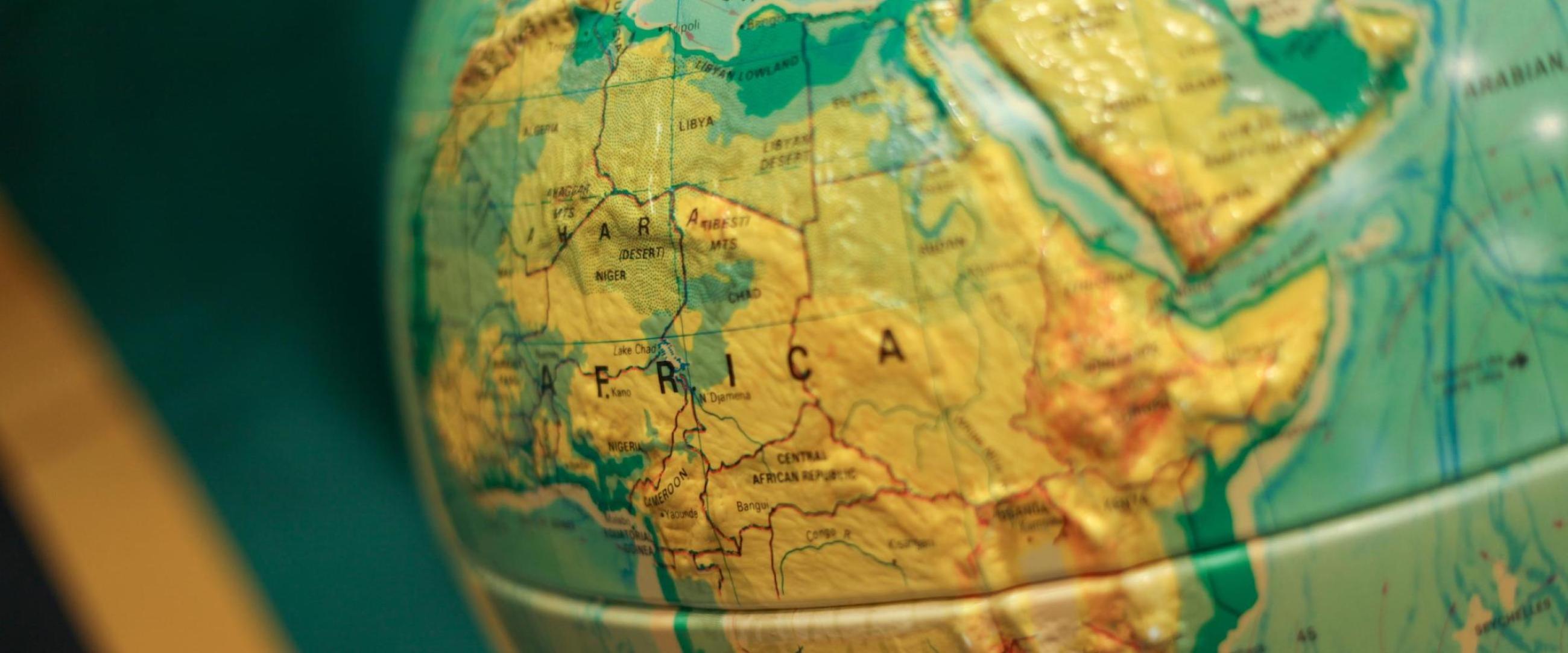
Students learn the fundamentals of geography and, through hands-on projects using the latest geospatial technologies, the different scientific tools to study the relationships between earth’s systems. After completion of the geography core, students take advanced coursework in Geographic Information Systems, Geospatial Analysis and Data Visualization, Remote Sensing, and/or Field Techniques. This program has an applied focus and aims to engage students through hands-on projects using the latest geospatial technologies.
The BS in Geography with a concentration in Geographic Information Science and Technology prepares students for employment and/or graduate school in the rapidly expanding geospatial technology sector. After completion of the geography core, students will take advanced coursework in Geographic Information Systems, Geospatial Analysis and Data Visualization, Remote Sensing, and/or Field Techniques. This program has an applied focus and aims to engage students through hands-on projects using the latest geospatial technologies.
School / College
College of Arts & Sciences
Department
Environment, Geography, and Marine Sciences
Contact
C. Patrick Heidkamp
Matthew Miller